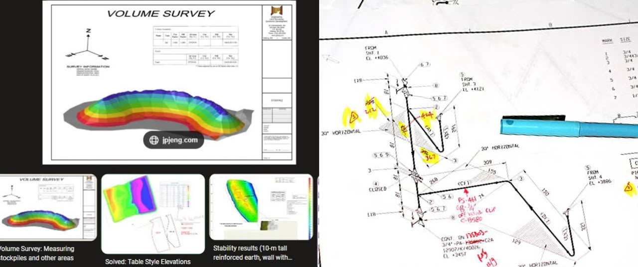
Volumetric Surveys, Cut and Fill Analysis and Setting Out UK - Property Development Surveying
Volumetric surveys, cut and fill analysis and setting out services provide essential measurement and positioning information for construction, earthworks and property development projects across the UK. They help developers, contractors, engineers and landowners understand existing site conditions, calculate material volumes and accurately transfer approved designs onto the ground.
Modern surveying can combine UAV photogrammetry, drone LiDAR, GNSS, total stations and terrestrial laser scanning. The appropriate technique depends on the project's scale, required accuracy, terrain and intended use of the survey information.
FraserBond.com supports developers, investors and landowners with development site sourcing, acquisitions, sales, lettings, compliance-focused property support and investment advisory across London and the wider UK property market.
What Are Volumetric Surveys?
A volumetric survey measures the three-dimensional volume of materials, excavations or changes in ground levels.
Surveyors collect spatial data from a site and use it to create digital surface models. These models can then be used to calculate quantities between defined surfaces or survey dates.
Typical applications include:
- Earthworks measurement
- Stockpile calculations
- Excavation volumes
- Quarry and aggregate surveys
- Construction progress measurement
- Site remediation
- Land development
- Material movement assessment
Reliable volume calculations can help project teams understand how much material needs to be excavated, imported, removed or redistributed.
UAV Volumetric Surveys
UAV volumetric surveys use drones to collect large quantities of site data efficiently.
Depending on the project, UAV photogrammetry or LiDAR can generate detailed 3D models from which volumes can be calculated.
Drone surveying can be particularly useful for extensive construction sites, stockpiles and earthworks where repeated ground measurement would be time-consuming.
Repeat UAV surveys can also create comparable datasets at different stages of construction.
Accuracy remains critical. Survey control, equipment, flight methodology and data processing should be appropriate for the intended commercial or engineering use.
What Is Cut and Fill Analysis?
Cut and fill analysis calculates how much material needs to be excavated from higher areas of a site - cut - and how much is required to raise lower areas - fill - to achieve proposed development levels.
It is an important component of earthworks planning.
Where possible, balancing cut and fill can reduce the quantity of material that needs to be transported onto or away from a development site.
This can influence construction costs, logistics, programme and development viability.
Accurate existing and proposed surface information is therefore fundamental to a meaningful analysis.
Cut and Fill Analysis for Property Development
For a major residential, commercial or mixed-use development, earthworks can represent a substantial part of the early construction programme.
A cut and fill survey allows the project team to compare existing ground levels with proposed design levels.
The analysis can identify where excavation is required and where suitable material may potentially be reused, subject to engineering, environmental and other relevant requirements.
Developers can then incorporate more realistic earthworks assumptions into the construction budget.
Through FraserBond.com, developers can assess UK development opportunities while specialist surveyors and engineers undertake the technical investigations required to establish site costs and constraints.
Earthworks Volume Calculations
Accurate earthworks calculations are particularly important where site levels vary significantly.
A relatively small change in assumed depth across a large development site can result in a substantial difference in material volumes.
Survey information may therefore be used to calculate quantities associated with excavation, embankments, platforms and other ground-level changes.
Where calculations have contractual or payment implications, the survey specification and methodology should be agreed by the relevant professional parties.
What Is Setting Out in Construction?
Setting out is the process of transferring positions, dimensions and levels from approved design information onto the physical construction site.
It allows contractors to establish precisely where elements of the development should be built.
Depending on the project, setting out can include:
- Building positions
- Foundations
- Gridlines
- Roads
- Drainage
- Utilities
- Kerbs
- Structural elements
- Finished levels
- Site boundaries and reference points
Accurate setting out is critical because positioning errors early in construction can affect subsequent stages of the project.
Setting Out for Property Developments
Construction setting out services can be required from initial groundworks through to structural and external works.
Surveyors use suitable instruments and approved design coordinates to establish reference points on site.
The required precision varies according to what is being constructed.
Setting out foundations or structural elements, for example, can require different tolerances from general earthworks.
Developers and contractors should ensure that current approved drawings and coordinate information are being used before construction positions are established.
UAV Surveys for Cut and Fill Analysis
Drone technology can be particularly effective for collecting the surface information used in cut and fill calculations.
A UAV photogrammetry or LiDAR survey can produce a detailed representation of existing terrain.
This surface can then be compared with an appropriate proposed design surface to calculate differences.
Repeat surveys can also help project teams assess how earthworks are progressing.
UAV data should be supported by appropriate survey control and professional verification where the calculations require engineering or contractual accuracy.
LiDAR vs Photogrammetry for Volumetric Surveys
Both LiDAR and photogrammetry can support volumetric and earthworks surveys.
Photogrammetry generates three-dimensional information from overlapping photographs and can be highly effective on exposed construction sites and stockpiles.
LiDAR measures distances using laser pulses and can offer advantages for certain terrain or vegetation conditions.
The appropriate technology depends on site conditions, accuracy requirements, required deliverables and budget.
Some projects combine UAV data with GNSS or total-station measurements to provide additional survey control and verification.
Volumetric Surveys and Setting Out in London
Construction surveying in London can involve additional challenges because development sites are frequently constrained by existing buildings, neighbouring properties and limited construction access.
Accurate positioning and measurement become particularly important where there is little tolerance for site-layout errors.
London developments can include basement construction, residential schemes, commercial refurbishments, mixed-use developments and complex regeneration projects.
Professional surveying should be incorporated into the project programme from an appropriate stage rather than treated solely as a response to construction problems.
Through FraserBond.com, developers and investors can access location-specific London property expertise when sourcing and evaluating development opportunities.
Surveys and Property Development Finance
Earthworks and site-preparation costs can materially affect property development finance.
If a development appraisal significantly underestimates excavation, material removal or ground preparation, the total development cost - TDC can increase and projected returns can decline.
Reliable survey and engineering information can therefore help developers create better-supported cost assumptions before approaching lenders or equity investors.
For capital providers, this contributes to a clearer understanding of the project's construction requirements and potential risks.
Development Site Due Diligence
Volumetric and cut and fill analysis should be considered within the broader development due diligence process.
Before acquiring a site, developers may also require topographical surveys, UAV LiDAR, photogrammetry, utility surveys, ground investigations, drainage assessments and environmental reports.
Together, these investigations can provide a clearer understanding of the site's physical constraints and potential construction costs.
Setting out typically becomes relevant once approved design information is ready to be transferred to the site for construction.
Property Development Support from Fraser Bond
Fraser Bond works with developers, investors, landowners and property companies evaluating opportunities throughout London and the UK.
Through FraserBond.com, clients can access development site sourcing, acquisitions, property sales, lettings, compliance-focused support and investment advisory.
For clients assessing development land, Fraser Bond can provide location-specific property intelligence while appropriately qualified surveyors and engineers undertake volumetric surveys, cut and fill calculations, setting out and other technical services.
Visit FraserBond.com to explore London and UK development opportunities and discuss land acquisitions, development sites, property sales and investment requirements with Fraser Bond.